


Russian Mission Precinct, Wade Hampton Census Area, Alaska
About
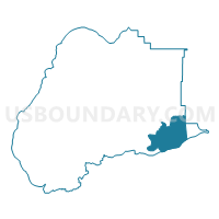
Outline

Summary
| Unique Area Identifier | 523556 |
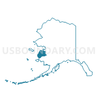
| Name | Russian Mission Precinct |
| County | Wade Hampton Census Area |
| State | Alaska |
| Area (square miles) | 904.92 |
| Land Area (square miles) | 814.15 |
| Water Area (square miles) | 90.77 |
| % of Land Area | 89.97 |
| % of Water Area | 10.03 |
| Latitude of the Internal Point | 61.72821150 |
| Longtitude of the Internal Point | -161.66969700 |
Maps

Graphs
Select a template below for downloading or customizing gragh for Russian Mission Precinct, Wade Hampton Census Area, Alaska


Neighbors
Neighoring Voting District (by Name) Neighboring Voting District on the Map
- Aniak Precinct (Part; Also See Part In Bethel Census Area), Wade Hampton Census Area, AK
- Aniak Precinct (Part; Also See Part In Wade Hampton Census Area), Bethel Census Area, AK
- Holy Cross Precinct, Yukon-Koyukuk Census Area, AK
- Kasigluk Precinct, Bethel Census Area, AK
- Marshall Precinct, Wade Hampton Census Area, AK
- Upper Kalskag Precinct, Bethel Census Area, AK
Top 10 Neighboring County Subdivision (by Population) Neighboring County Subdivision on the Map
- Lower Kuskokwim census subarea, Bethel Census Area, AK (15,563)
- Wade Hampton census subarea, Wade Hampton Census Area, AK (7,459)
- McGrath-Holy Cross census subarea, Yukon-Koyukuk Census Area, AK (1,058)
Top 10 Neighboring Place (by Population) Neighboring Place on the Map
Top 10 Neighboring Unified School District (by Population) Neighboring Unified School District on the Map
- Lower Yukon School District, AK (6,014)
- Kuspuk School District, AK (1,406)
- Iditarod Area School District, AK (1,102)
Top 10 Neighboring State Legislative District Lower Chamber (by Population) Neighboring State Legislative District Lower Chamber on the Map
Top 10 Neighboring State Legislative District Upper Chamber (by Population) Neighboring State Legislative District Upper Chamber on the Map
Top 10 Neighboring 111th Congressional District (by Population) Neighboring 111th Congressional District on the Map
Top 10 Neighboring Census Tract (by Population) Neighboring Census Tract on the Map
- Census Tract 1, Bethel Census Area, AK (9,483)
- Census Tract 1, Wade Hampton Census Area, AK (7,459)
- Census Tract 4, Yukon-Koyukuk Census Area, AK (1,058)